| |
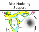
| Introduction to Cat-Risk Modeling Support |
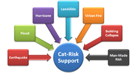
| GIS Support Services for Catastrophe Risk Modeling by domain experts with more than a decade experience coupled with advanced application development capabilities in all leading platforms make us unique in the industry |
| |
| Support services common to all models |
| • Geo-Registration of Images |
| • Digitization of Base Maps |
| • Development of Parametric Maps |
| • Data building to suit modeling |
| • Data cleansing to suit modeling |
| • Geo-coding |
| • Mass Data Entry |
| |
|
|
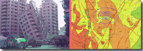
| Support for Earthquake Modeling |
| • Classification of Geological and Soil Maps |
| • Aggregation to admin boundaries using different weighting methods like Area weighted, Population weighted, Roughness weighted, Exposure weighted etc. |
| • Cracking Down and Summing up to different Geo-coding levels |
|
|
| |
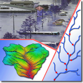
| Support for Flood Modeling |
| • Building of River Network suitable for modeling, spatial corrections to river networks, Synchronizing river network and DEM, Correcting spatial connectivity |
| • Prepare rainfall database from isohyets maps and radar data |
| • Generate historical flood database from flood maps |
| • Generate flow database from flow/gauge data, perform analysis and develop derived data |
| • Derive data as per requirement for industry standard tools like, HEC-RAS, HEC-HMS, Mike Products, ArcHydro, WMS etc. |
| • Watershed/Basin derivation from Terrain Models (DEM) and its corrections |
| • Derivation of catchment parameters |
| • Flow length computations, River Routing using standard methods |
| • Modeled flood depth derivations under different scenarios |
| • DEM Reconditioning to suit modeling |
|
|
| |
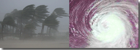
| Support for Hurricane and Wind-Surge Modeling |
| • Coastline definitions and derivations as per modeling requirements |
| • Roughness derivation from satellite images, grouping and re-classification |
| • Derivation of distance to cost |
| • Aggregation to geocoding boundaries |
|
|
| |
| |